| |
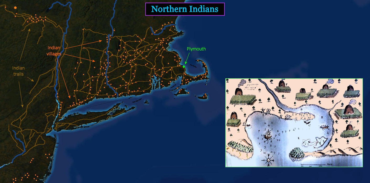
Indian Villages The ORANGE dots on the main map above are Indian villages at the time the Pilgrims arrive. The BROWN lines, which look like roads, are actually Indian trails linking a well-developed Indian culture. The smaller map of the harbor (at right) was made just a few years before the arrival of the Pilgrims. It shows active Indian settlements all over the site where the Pilgrims now live. |
| |||||||||
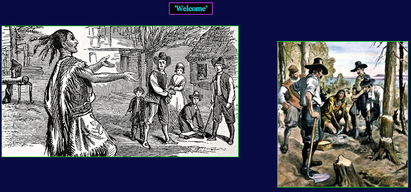
Meeting the Neighbors Three months after landing at Plymouth, the Pilgrims are startled by a solitary Indian walking right into their settlement. This is the first Indian they have seen, which is amazing enough. Then the Indian says 'Welcome,' in English. He has learned a little English by talking with captains of English fishing vessels, who have been coming each spring for many years to fish the waters off the Maine coast. A week later, the local Indian chief arrives to arrange a peace agreement, which lasts for 50 years. | |||||||||
| |||||||||
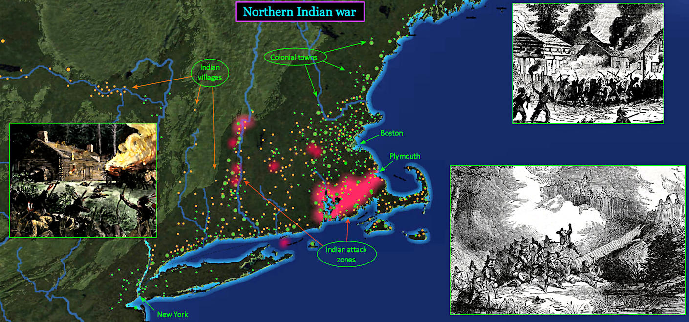
Too Late By 1675, English towns (GREEN dots) already outnumber Indian villages (ORANGE dots). As the English continue tightening their grip on former Indian territory, Indians begin retaliating with hit-and-run raids (RED highlights). The growing conflict spreads to many areas, but is centered in the hotly contested area between Rhode Island and Plymouth. In the end, there are just too many English, and the three-year Indian effort collapses. The Indian population is decimated, and many Indians are sold off as slaves. | |||||||||